
Anúncios
Exploring the world from above has never been easier. With satellite imagery apps, you can discover cities, landscapes, and hidden gems without leaving your home. 🌍


Satellite imagery technology has transformed how we interact with geography and urban planning. What once required expensive equipment and professional access is now available at your fingertips through smartphone applications.
Anúncios
These tools offer unprecedented views of our planet, allowing users to zoom in on streets, buildings, and natural formations with remarkable clarity.

Whether you’re planning a vacation, studying geography, researching real estate, or simply satisfying your curiosity about distant places, satellite imagery apps provide an immersive experience.
Anúncios
They combine cutting-edge technology with user-friendly interfaces, making global exploration accessible to everyone. Let’s dive into how these applications work and why they’ve become essential tools for millions worldwide.
🛰️ How Satellite Imagery Apps Actually Work
Satellite imagery applications rely on a sophisticated network of orbiting satellites that continuously capture high-resolution photographs of Earth’s surface.
These satellites operate at various altitudes, with some positioned in low Earth orbit for detailed images and others in geostationary positions for consistent coverage of specific regions.
The data collected undergoes extensive processing before reaching your device. Advanced algorithms stitch together thousands of individual images, correct for atmospheric distortion, and adjust for lighting conditions.
The result is seamless, zoomable maps that feel almost like flying over the actual terrain.
Most modern apps combine satellite data with aerial photography taken from aircraft flying at lower altitudes. This hybrid approach delivers the best of both worlds: broad coverage from satellites and fine detail from aerial shots.
The combination creates those stunning street-level views where you can identify individual cars and building features.
Cloud computing plays a crucial role in delivering this experience. Rather than storing massive image files on your phone, these apps stream data on-demand from powerful servers.
This approach keeps the application lightweight while providing access to petabytes of geographical information.
🌟 Top Features That Make These Apps Indispensable
Modern satellite imagery applications offer far more than static pictures. The integration of multiple data sources and interactive features creates a comprehensive exploration platform that serves diverse purposes.
Real-Time and Historical Imagery
One of the most fascinating features is the ability to view locations across different time periods. Many apps include historical imagery dating back decades, allowing you to witness urban development, environmental changes, and landscape transformations.
You can literally watch cities grow, forests shrink, or coastlines shift over time.
This temporal dimension adds educational and research value. Urban planners use it to study development patterns, environmental scientists track deforestation, and historians document architectural changes.
For casual users, it’s simply amazing to see how your hometown looked 10 or 20 years ago.
3D Terrain and Building Visualization
Advanced rendering technology brings flat images to life through three-dimensional modeling. Buildings, mountains, and terrain features pop out with realistic depth, creating an immersive viewing experience that feels like flying through the actual location.
This feature proves especially valuable when exploring mountainous regions, urban skylines, or landmarks. You can tilt and rotate your view to see structures from multiple angles, understanding spatial relationships that traditional maps cannot convey.
Measurement and Distance Tools
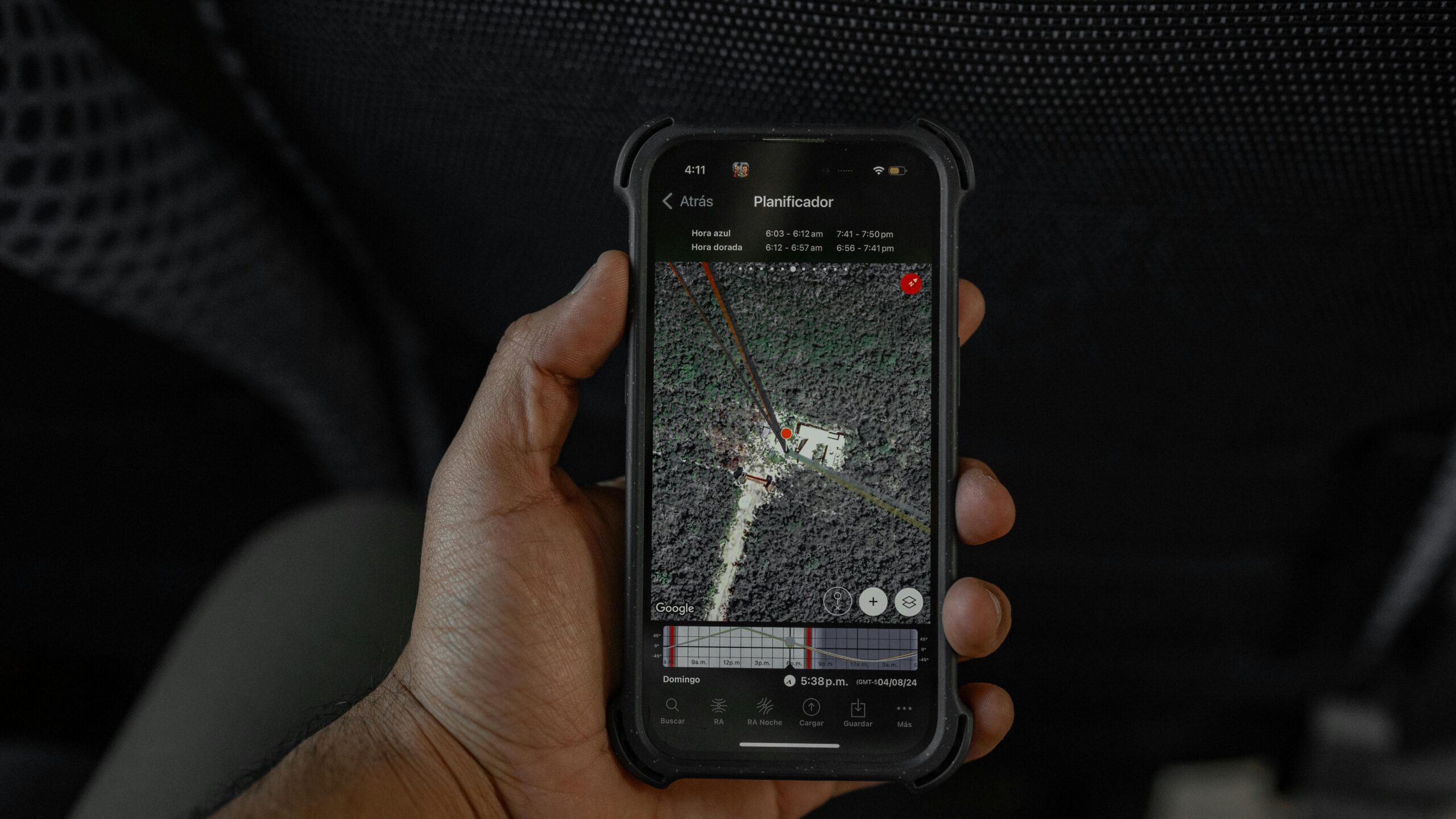
Practical measurement features let you calculate distances, areas, and elevations directly within the app. Need to know how far it is between two points? Want to measure the size of a property or the height of a mountain?
These tools provide accurate measurements based on satellite data.
Professionals in construction, real estate, and outdoor recreation find these features particularly useful. Hikers can plan routes, property developers can assess land parcels, and researchers can gather geographical data without field visits.
Street View Integration
The seamless transition from satellite view to ground-level photography creates a complete exploration experience. You can zoom from space all the way down to street level, then virtually walk through neighborhoods as if you were physically there.
This integration is invaluable for travel planning, allowing you to preview destinations, scout neighborhoods, and locate specific businesses or landmarks. It transforms abstract satellite imagery into relatable, human-scale perspectives.
🗺️ Popular Uses Beyond Simple Exploration
While casual browsing remains popular, satellite imagery apps serve numerous practical and professional purposes that extend far beyond entertainment.
Travel Planning and Virtual Tourism
Before booking accommodations or planning itineraries, travelers use these apps to scout destinations. You can evaluate hotel locations, identify nearby attractions, assess neighborhood character, and even check parking availability.
Virtual tours help set realistic expectations and optimize travel plans.
The COVID-19 pandemic accelerated virtual tourism through these platforms. People unable to travel physically explored bucket-list destinations from home, maintaining their connection to the wider world during lockdowns.
Real Estate Research and Property Assessment
Homebuyers and investors rely heavily on satellite imagery to evaluate properties remotely. You can assess neighborhood density, proximity to amenities, flood risk areas, and property boundaries.
The aerial perspective reveals information that ground-level photos and descriptions cannot convey.
Real estate professionals use these tools to prepare listings, verify property features, and conduct market research. The ability to view entire neighborhoods simultaneously helps identify comparable properties and market trends.
Educational Applications and Geography Learning
Teachers worldwide incorporate satellite imagery into geography, history, environmental science, and social studies curricula. Students can explore ecosystems, compare urban and rural areas, study geological formations, and understand human impact on landscapes.
The visual, interactive nature of these apps engages students more effectively than traditional textbooks. Concepts like watershed systems, urban sprawl, and climate zones become tangible when viewed from space.
Environmental Monitoring and Conservation
Environmentalists and researchers use satellite imagery to monitor deforestation, track wildlife habitats, document glacier retreat, and assess natural disaster impacts. The historical imagery feature provides crucial data for long-term environmental studies.
Citizen scientists contribute to conservation efforts by identifying changes in local ecosystems and reporting findings to organizations. This democratization of environmental monitoring amplifies conservation efforts globally.
📱 Choosing the Right App for Your Needs
Several excellent satellite imagery applications exist, each with unique strengths and specialized features. Understanding these differences helps you select the best tool for your specific requirements.
Google Earth: The Gold Standard
Google Earth remains the most comprehensive and widely used satellite imagery application. Its extensive database covers virtually every corner of the planet with regularly updated imagery.
The platform excels in user-friendliness, making advanced features accessible to beginners while offering depth for power users.
Key advantages include Voyager guided tours, historical imagery spanning decades, and seamless Street View integration. The 3D rendering quality surpasses most competitors, particularly in major urban areas where detailed building models exist.
NASA Worldview: Scientific Precision
For users interested in scientific data and near-real-time imagery, NASA Worldview offers unparalleled resources. This free tool provides access to NASA’s Earth observation satellites, displaying phenomena like wildfires, storms, and atmospheric conditions as they happen.
The interface caters to researchers and educators, with options to overlay scientific data layers and download high-resolution images. While less intuitive than consumer apps, it provides unmatched authority and data accuracy.
Zoom Earth: Weather and Real-Time Updates
Zoom Earth specializes in current conditions, combining satellite imagery with meteorological data. The platform updates frequently, making it ideal for tracking weather systems, viewing current cloud cover, and monitoring environmental events.
Its lightweight interface loads quickly even on slower connections, and the focus on recent imagery ensures you’re viewing the most current data available.
🔍 Understanding Image Quality and Resolution
Not all satellite imagery offers the same level of detail. Understanding resolution differences helps set appropriate expectations and choose the right tool for specific tasks.
High-resolution imagery, typically captured by commercial satellites or aerial photography, can distinguish objects as small as 30 centimeters. This level of detail reveals cars, swimming pools, and building features clearly.
However, such resolution isn’t available everywhere—most coverage prioritizes populated areas and points of interest.
Medium-resolution imagery covers larger geographical areas but with less detail. You can identify buildings and major landscape features, but individual vehicles or small structures become indistinct. This resolution suffices for neighborhood overviews and general exploration.
Update frequency varies significantly by location. Major cities receive new imagery multiple times per year, while remote regions might have images several years old. Apps typically display the capture date, allowing you to assess how current the imagery is.
🌐 Privacy Considerations and Ethical Use
The accessibility of detailed satellite imagery raises legitimate privacy and security questions. While these apps provide valuable services, users should consider ethical implications and respect privacy boundaries.
Most services blur faces and license plates in Street View imagery, but satellite shots capture properties and outdoor spaces without such protections. Property owners have limited control over how their homes appear in these applications.
Security-sensitive locations like military installations often appear blurred or use outdated imagery. Governments can request restrictions on specific facilities, though implementation varies by country and platform.
Users should avoid using these tools for surveillance, harassment, or any activity that infringes on others’ reasonable expectations of privacy. Responsible use respects that while the imagery is publicly accessible, it shouldn’t enable inappropriate behavior.
💡 Tips for Getting the Most from Satellite Imagery Apps
Maximizing your experience with these powerful tools requires understanding hidden features and optimization strategies that casual users often overlook.
Download Offline Maps for Areas You’ll Visit
Most apps allow downloading specific regions for offline access. This feature proves invaluable when traveling to areas with limited connectivity or when conserving mobile data.
Pre-downloading ensures you maintain access to maps and imagery regardless of network conditions.
Explore Curated Tours and Points of Interest
Many applications include guided tours created by experts, highlighting natural wonders, historical sites, and cultural landmarks. These curated experiences introduce you to places you might never discover independently, complete with contextual information and storytelling.
Use Layers to Add Context
Overlay features add valuable information to base imagery. Weather layers show current conditions, traffic overlays reveal congestion patterns, and topographical maps display elevation changes.
Experimenting with different layer combinations reveals hidden patterns and insights.
Bookmark Favorite Locations
Save places you want to revisit or share with others. Building a personal collection of interesting locations creates a customized atlas reflecting your interests, whether that’s architectural marvels, natural wonders, or childhood homes.
🚀 The Future of Satellite Imagery Technology
Rapid technological advancement promises even more impressive capabilities in coming years. Understanding emerging trends provides insight into how these applications will evolve.
Artificial intelligence increasingly enhances image processing, automatically identifying features, removing cloud cover, and creating smoother 3D models.
Machine learning algorithms can generate updated imagery by synthesizing multiple data sources, potentially offering near-real-time views of changing landscapes.
Higher resolution satellites continue launching, promising imagery detailed enough to identify individual people (though privacy measures will likely blur such details).
Commercial space companies are democratizing satellite technology, potentially allowing businesses and even individuals to request custom imaging.
Augmented reality integration will blend satellite imagery with real-world views through smartphone cameras. Point your device at a distant mountain, and an overlay might display its name, elevation, and hiking trails—all powered by satellite data.
Hyperspectral imaging, which captures data beyond visible light, will reveal information invisible to the naked eye.
This technology could identify crop health, water quality, and mineral deposits, transforming applications in agriculture, environmental monitoring, and resource management.
🎯 Making Satellite Imagery Part of Your Digital Toolkit
Incorporating satellite imagery apps into your regular digital habits opens new perspectives and practical benefits. Whether you’re a student, professional, traveler, or curious explorer, these tools offer something valuable.
Start by exploring your own neighborhood and hometown. Seeing familiar places from above often reveals surprising patterns and features you’ve never noticed from ground level. This personal connection makes the technology immediately relatable and engaging.
Use these apps before making travel decisions, from vacation destinations to restaurant locations. The visual context they provide surpasses written descriptions and even photos, giving you confidence in your choices.
Share discoveries with friends and family. Finding someone’s childhood home, tracing a memorable road trip, or exploring a dream destination together creates shared experiences and conversations, even when physically apart.
Consider the educational value for children. Introducing young people to geography through interactive satellite exploration builds spatial reasoning skills and global awareness while satisfying natural curiosity about the world.
🌍 Embracing Our Planet from a New Perspective
Satellite imagery applications represent more than technological achievement—they fundamentally change how we understand and relate to our planet.
By making space-based perspectives accessible to everyone, these tools democratize knowledge that once belonged exclusively to governments and wealthy institutions.
The ability to view Earth from above fosters environmental awareness and global citizenship. Seeing the planet’s beauty and fragility from space—even through a smartphone screen—can inspire conservation efforts and appreciation for natural wonders.
These applications also highlight human achievement and diversity. The sprawling cities, intricate road networks, and varied architectural styles visible from space tell stories of human creativity, adaptation, and progress across different cultures and environments.
As technology continues improving, satellite imagery will become even more integrated into daily life. From autonomous vehicles using satellite data for navigation to climate scientists tracking environmental changes, the applications extend far beyond casual exploration.
By downloading and exploring these applications today, you’re not just satisfying curiosity—you’re participating in a revolution in how humanity observes, understands, and cares for our shared home. The entire planet awaits your discovery, one satellite image at a time. ✨